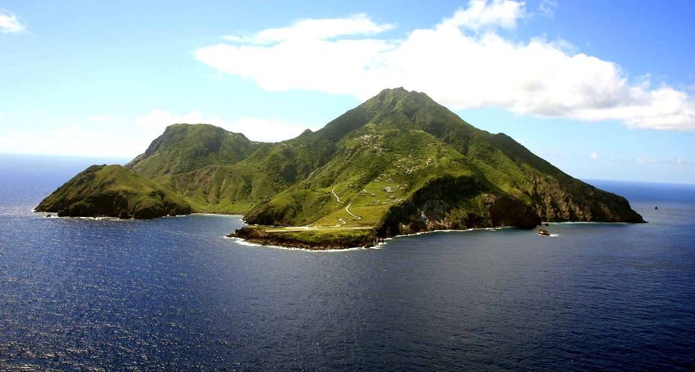
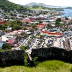
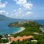
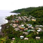
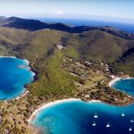
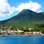
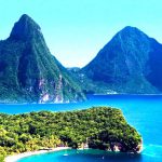
 Saba is one of the most untouched islands by the tourist industry. Literally twenty years ago, the appearance of a foreigner was perceived here as an event, but today the number of guests is tens of thousands annually. Why be surprised, in a fairy-tale land a contemporary, driven by the pace of a big city, finds peace, clean air, and drive. In other words, 100% rest.
Saba on the map
Saba Island on the world map or a detailed map of the island can be viewed using the navigation buttons (+/-). Caribbean on the map
Saba is a part of the sunny Caribbean in Central America, in the archipelago of the Windward Islands, part of the Lesser Antilles inflorescence. East of Saba (Dutch) is Sint Estatius, to the northeast are the islands of St. Martin, to the south lies Venezuela. It is a special Dutch possession, together with St. Eustatius and Bonaire forms a triad of islands, most often referred to as the Caribbean Netherlands.
The area of the compact territory is 13 km², washed by the Caribbean Sea, above which it rises 890 meters. The largest cities are Windwardside and Bottom, the latter being assigned the status of an administrative center. The local population is 1991 people.
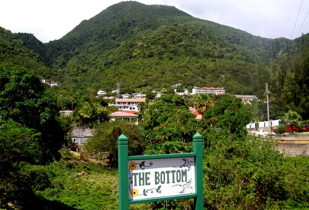
Holidays on Saba
This pearl, lost in the West Indian labyrinth, will be appreciated primarily by supporters of ecotourism, lovers of active recreation and those who need silence. The island still remains away from noise, wild rhythm, stress - a kind of nirvana a la Caribbean. Narrow streets, friendly people, fantastic nature, great diving conditions - it’s not without reason that fans of the deep are increasingly choosing Saba.
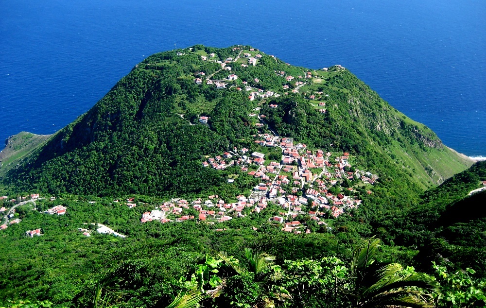
About twenty hotels await those arriving on the island. Regardless of the prestige of the establishment, the service in all is decent - tourism is the basis of the well-being of the locals, so it is extremely unprofitable for them to receive negative reviews. The cuisine is varied, you can order both European table and Creole dishes.
What to do on Saba? frolic in the clear waves of the warm sea, doze on the beach, walk, climb mountains, dive underwater, ride a boat, fish, admire the surroundings from the hatch of a miniature airplane.
Nature
It’s hard to imagine, but Saba is the tip of a volcano that hid in the depths of the ocean at the dawn of civilization. Underwater, on the slope of the steep foot, labyrinths of solidified lava and intricate caves formed. Corals literally envelop the entire coastline in lacy colonies. These gardens contain a lot of fish, shellfish, crustaceans, and turtles. From above, it seems that the surf line is completely broken, but there are many chic places for swimming. Still, it is better to choose the safest and most civilized beaches in Cove Bay and Wells Bay.
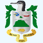
The contrast of fauna plays a significant role in the perception of the natural splendor of Saba. In the western part of the Caribbean island is poor, dry, dull, but the eastern part is reminiscent of bright pictures about Eden. On this side, tree ferns and mahogany predominate, the slopes are covered with dense forests, palm trees rise, the famous sabka cabbage, immortalized on the island’s coat of arms, grows, oleanders, orchids, and hibiscus bloom.
sights
Saba’s special pride is the National Marine Park of the same name, which occupies 43 hectares. It covers almost the entire coast and is under the constant control of the authorities. Any dive takes place in agreement with specialists, and the proceeds are used to maintain the unique ecosystem and research activities.
Another highlight of the island is the Juancho Irausquin airport, or rather its runway. She rightfully holds the title of the shortest on the planet - 400 meters. Only aces are allowed at the helm, since there is a huge risk of, if not crashing into a rock, then diving into the sea. Therefore, brave tourists are guaranteed unforgettable moments during the take-off and landing of the corn trucks provided for aerial excursions. However, in the entire history of the extreme airport, which is more than 50 years, not a single crash has happened here.
 |
 |
 |
 |
 |
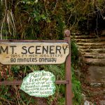
A wonderful view opens from the highest point of Saba, which is why mini walking tours to Mount Scenery are popular. The path begins from Windwardside, runs along the volcanic slopes through tunnels-thickets of giant ferns, palm groves, past the village of Crispen. It is important not to forget the equipment in order to capture shots that are extremely dynamic and rich.
When is the best time to go to Saba
Temperature fluctuations are insignificant - from 25˚ in February to 27-28˚ in September. Even at night it does not fall below 23˚. Rains are frequent here, most of them occur in May-November.
Stunning sea, pristine beauty, solitude bordering on meditation... It’s not for nothing that Saba is called the Pristine Queen of the Caribbean Netherlands - everyone who has visited the flowery coast dreams of returning to this emerald island.

